Méthode 1 :
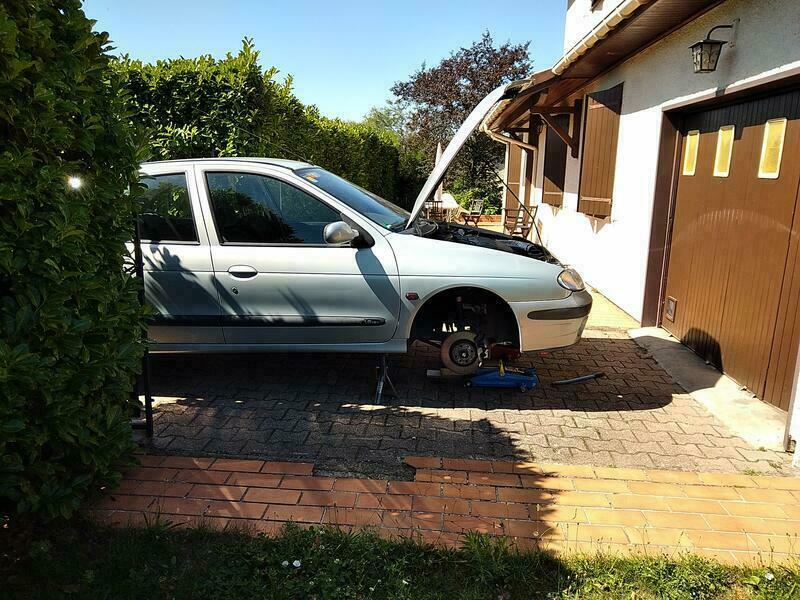
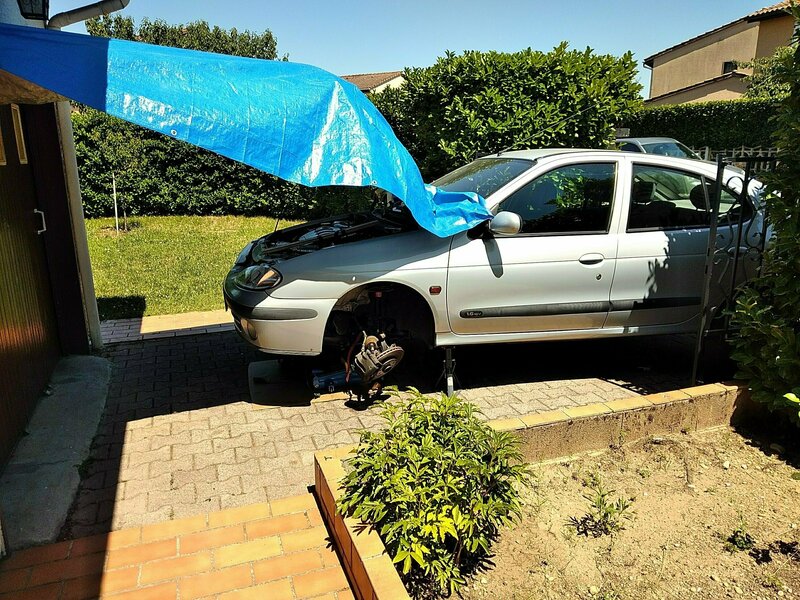
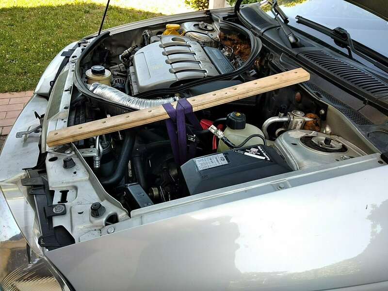
- Faire de la place
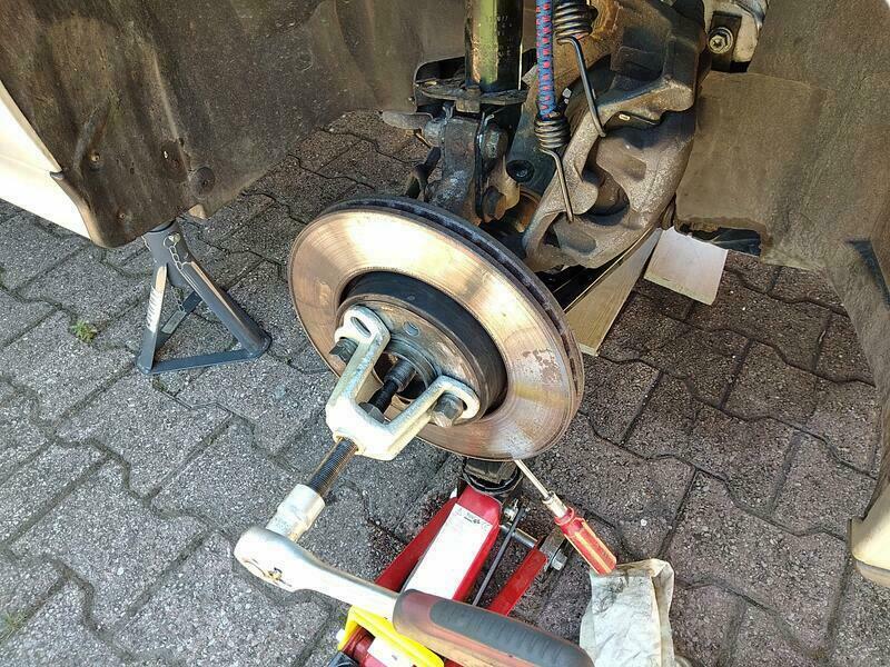
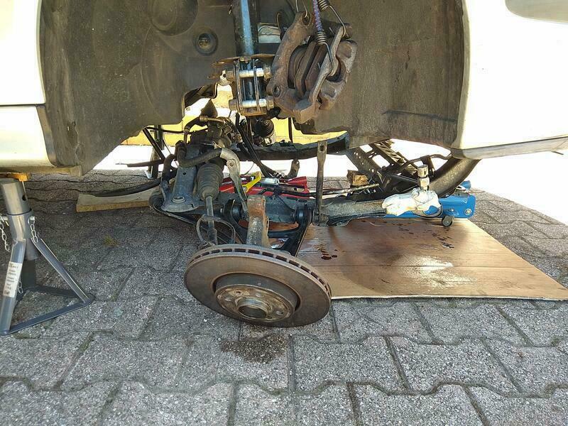
- Démonter les cardans
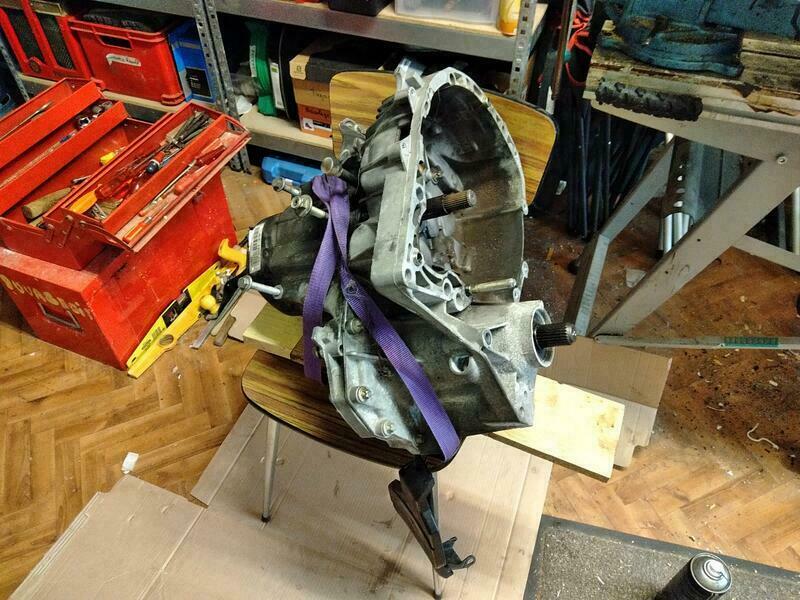
- Sortir le moteur-boite
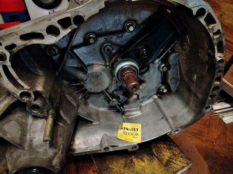
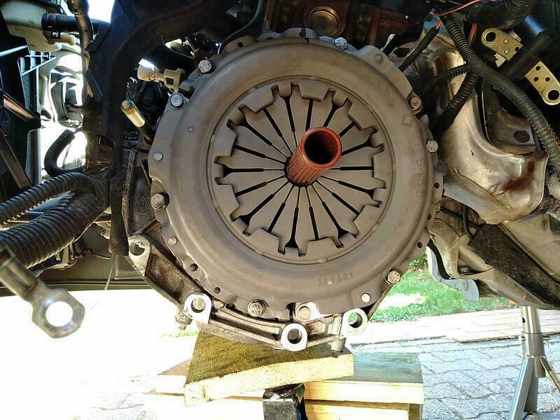
- Changer l’embrayage
- Tout remettre dedans
Méthode recommendée par Renaut pour les moteurs K4J/K4M, mais nécessite une chèvre et un atelier spacieux que je n’ai pas.
Méthode 2 :
- Faire de la place
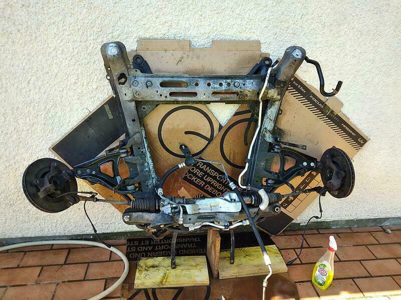
- Démonter les cardans, la direction et le subframe
- Incliner le moteur
- Démonter la boite
- Changer l’embrayage
- Tout remonter
Méthode recommandée par Renault pour les moteurs F, mais fonctionne avec les moteurs K4J/K4M.
Méthode 3 :
- Faire de la place
- Déboiter le cardan de la boite côté passager, poser le démarreur dessus
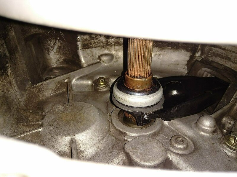
- Sortir le cardan du porte-moyeu côté conducteur
- Dévisser le cardan de direction
- Incliner le subframe côté conducteur
- Incliner le moteur côté conducteur
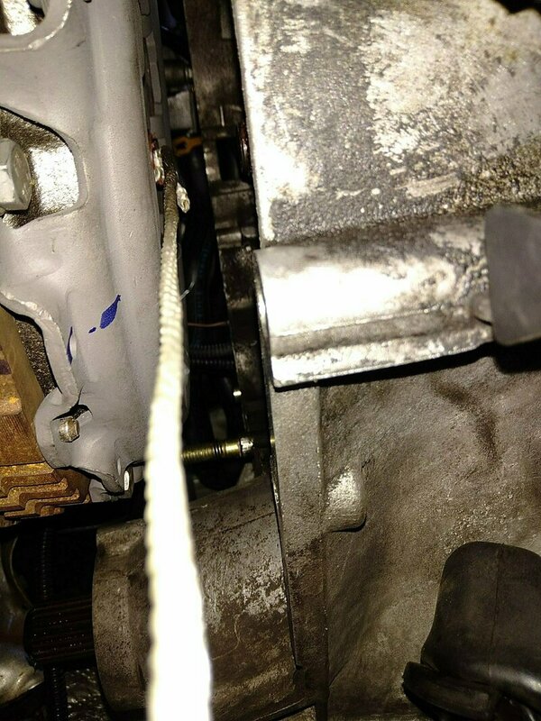
- Avancer la boite de ~5cm (sans vidange)
- Changer l’embrayage
- Tout remonter
Méthode artisanale non-recommandée par Renault. IMO plus facile, mais manque de place pour de tout nettoyer/vérifier.
]]>